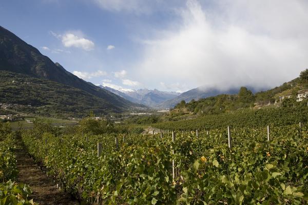
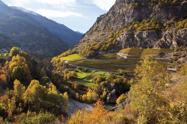
The geographical area dedicated to the production of the Valle d’Aosta DOC wine extends to the north-west end of Italy, bordering north with Switzerland and west with France, and is identified with the basin of the Dora Baltea river up to to the commune of Pont-Saint-Martin. This basin, bordered by the highest peaks in Europe, has a flat valley floor where the Dora Baltea flows, into which numerous side streams flow.
In correspondence with the main drainage basins of the river, the central valley is usually divided into three areas commonly referred to as low, medium and high valley.
This subdivision refers to three average altimetric altitudes: respectively 400, 600 and 1000 m above sea level.The three areas also differ in the rainfall which is very low in the middle valley (average values of 400 – 500 mm per year) and more abundant in the lower and upper valley (1000 – 1200 mm per year); the latter is characterized by much lower average temperatures due to the altitude and proximity to the Mont Blanc massif.
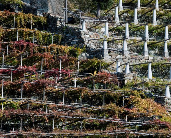
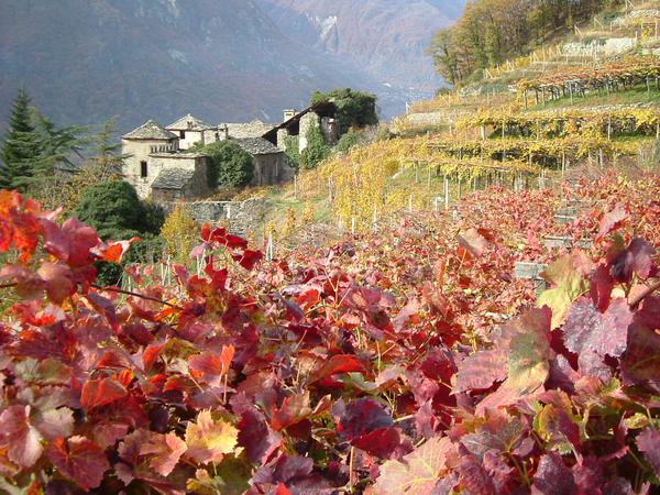
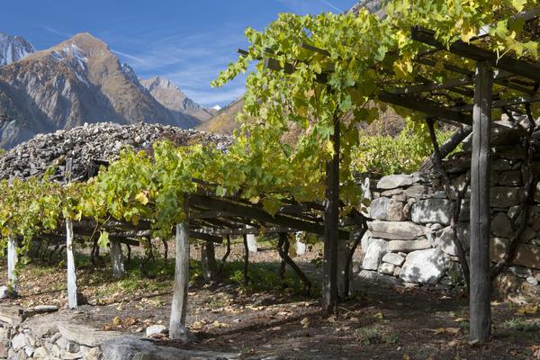
The orientation of the East-West axis of the Dora Baltea determines the exposure of the slopes of the main valley: one facing south “Adret” and one facing north “Envers”.
In the Adret, on the orographic left, most of the Valle d’Aosta vineyard area is concentrated. The excellent exposure allows to reach optimal ripeness even for the later vines.
On the orographic right, Envers, the vineyard area extends mainly between Aosta and Introd; here the cultivated varieties yield wines characterized by a good freshness and a great varietal aromatic expression.